Meteorologists from Environment Canada were closely monitoring a thunderstorm in Alberta that could potentially create a tornado. This occurred as the province was experiencing rainfall after a long period of dry weather.
Earlier on Wednesday, Environment Canada issued tornado watches and warnings for several parts of the province, stating that a severe thunderstorm could produce a tornado.
By 9:30 PM, the tornado alerts had ended, but severe thunderstorms and rainfall warnings were still in effect for various regions, including Fort McMurray and Red Deer.
Kyle Brittain, a freelance video journalist and weather expert, reported multiple tornadoes appearing in different parts of the province.
“We observed eight tornadoes today, starting from Iron Springs just north of Lethbridge, all the way to Brooks. Eight tornadoes between Iron Springs and Brooks…I have never seen so many tornadoes in one day in my life,” Brittain told CBC News.
He believes these tornadoes fall into a category known as landspout tornadoes, which may not cause as much damage as other types but can still be quite destructive.
“The reason why they’re happening is we have some unstable air, and air is really strongly converging along an axis across southern Alberta where we’ve got strong northerly winds on the north side and strong southwesterly winds on the southern side of this boundary,” explained Brittain.
“So, when these winds come together, pockets of swirling air form, and a thunderstorm updraft develops on top of it, which can spin up into a tornado,” he continued.
What’s next, from record-high temperatures in some parts of the province to tornadoes in others? According to Stephen Burg, a meteorologist with Environment and Climate Change Canada (ECCC), we can expect snow.
But don’t go bundling up yet. While some residents may see snow, Burg said major cities and towns would be spared.
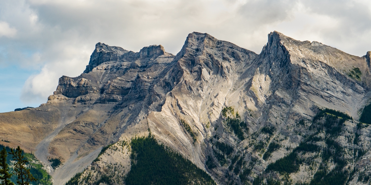
“It looks like there probably will be snow, but at high elevations…It doesn’t look like it’ll be hitting Calgary, Airdrie, Sundre – those areas. It looks like it’ll be more toward the Rockies,” Burg told Curiosity.
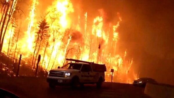
Our climate has steadily changed toward warmer average temperatures in the last few decades. In Alberta, we feel the consequences of climate change firsthand with our wildfires.
While rainy conditions and snowfall may help, it’s not enough to reverse the course of our hellish wildfire season, according to Sarah Hoffman, a meteorologist with Environment Canada.
According to Nathan Gillett, a research scientist with ECCC, wildfire activity will only worsen as our emissions increase and the climate warms.
“We’re going to see more extreme wildfire seasons. How big those increases are will depend on how much warming we see on a global scale, which depends on how quickly we can get emissions to zero,” Gillett told Global News.
There’s proof in the pudding. Gillett points to a study on the 2016 Fort McMurray wildfire.
“We had a very clear signal of human-induced climate change increasing the risk of the weather that leads to these kinds of extreme wildfire seasons,” he explained.
Whether climate change is to blame or not, there’s no denying drier conditions in the province have led to more severe and frequent wildfires.